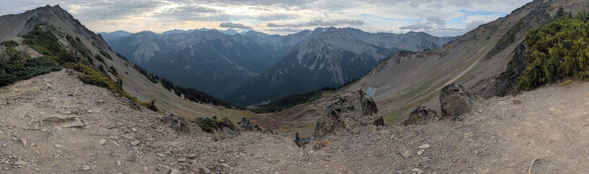
Last summer, Jeney and I turned around at Obstruction Point. We’d planned a two-day version of a big loop through the Olympic Mountains, but between a heat wave, running low on water, and bees, we called it after 16 miles.
This year I went back to finish the part we missed. Jeney dropped me off at Obstruction Point at sunrise, and about eleven hours later I came out at the end of the Dosewallips Road. In between were Grand, Cameron, and Lost Passes. I also met a bear. (And, it turns out, more bees.)
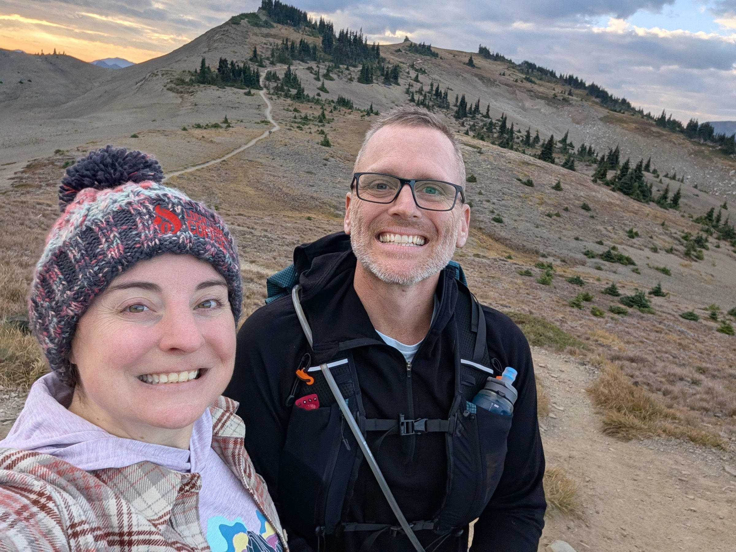
Starting line selfie at Obstruction Point, 7:31 am.
The Route at a Glance
| Date | September 1, 2026 |
| Start | Obstruction Point trailhead, Olympic National Park (6,150 ft) |
| Finish | Dosewallips Road trailhead, where the road ends at the 2002 washout |
| Distance | 33.2 miles |
| Elevation gain | 5,778 ft |
| Elevation loss | About 11,300 ft |
| Time | 10 hours 47 minutes elapsed |
| Passes | Grand Pass, Cameron Pass, Lost Pass |
| Logistics | One-way, so you need a shuttle (thanks, Jeney). Obstruction Point Road is 7.8 miles of narrow gravel from Hurricane Ridge and is typically open mid-July to mid-October. No wilderness permit needed for a day trip, but you’ll need a park entrance pass (as of 2026). |
This isn’t an official named route, as far as I know, although I’m sure plenty of people have strung it together. I named it Grandwallips Passage on Strava for fun. It’s a mash-up of Climber Kyle’s “Grand Loop” (named for Grand Pass and Grand Valley) and the Dosewallips River, where I came out.
Unfinished Business From Last Year
I found the original idea on Climber Kyle’s blog, which I came across a couple of years ago and which has given me a lot of good route ideas around Washington. His Grand Loop starts and ends at Deer Park, goes out to Obstruction Point and over Grand, Cameron, and Lost Passes, and comes back over Gray Wolf Pass. It’s listed at 43 miles and 15,000 feet of gain, although Kyle’s own watch said 42 miles and 13,300 feet. Our plan last year was to break it into two days of fast packing: camp at Deer Park, run about 23 miles down into the valley, and come back the next day through another valley and up a big final climb to Deer Park.
A few things were working against us. Jeney had just flown back from a conference in Germany and picked me up the day after she landed. A heat wave had settled in, with Port Angeles and Sequim somewhere in the 90s, and it wasn’t much cooler up high with the sun beating down. It was just as hot the next morning when we started.
By Obstruction Point, Jeney wasn’t feeling it, and we had less water than we’d thought. I was also nursing some plantar fasciitis with my first 100-miler about a month out, so I didn’t want to push either of us into a bad spot. When Jeney said she wasn’t comfortable continuing, I told her that was great, and that I appreciated her saying it, because I know that’s a tough thing to say. We got some extra water from a few kind people at the trailhead who had some in their cars, turned around, and headed back.
It was the right call, but we were both disappointed. We got some beautiful views, but between the heat and the bees it was a 16-mile run that left us wanting to come back and do the real thing.
The Plan This Time
The fix was to make it one-way and keep the three passes. Jeney offered to drop me off at Obstruction Point and pick me up on the other side at the Dosewallips Road trailhead, where the drivable road ends, instead of me running all the way out toward Highway 101. That kept it to about 33 miles. (The Dosewallips Road washed out in January 2002 and was never repaired, so the last 6.5 miles of the route follow the old road down from the abandoned campground.) We camped at Dosewallips State Park in Brinnon, which put us close to the finish.
I’ll admit my training was a little underwhelming compared to past summers. I’ve been running less, and building back up slowly felt like the smart way to keep this safe and fun. What I didn’t do much of was 20-plus-mile runs, and I’d feel that later.
Since I was going solo, we agreed on timing ahead of time. I asked Jeney to be at the finish around 7.5 hours in, that I really expected 8 or 9, and not to call anyone unless I was past 12 hours.
Sunrise to Grand Pass
Driving up to Obstruction Point at sunrise was amazing, and the first couple of miles across the open ridge were just really nice, easy running. The weather was the opposite of last year: cool and mostly overcast, maybe in the 60s.
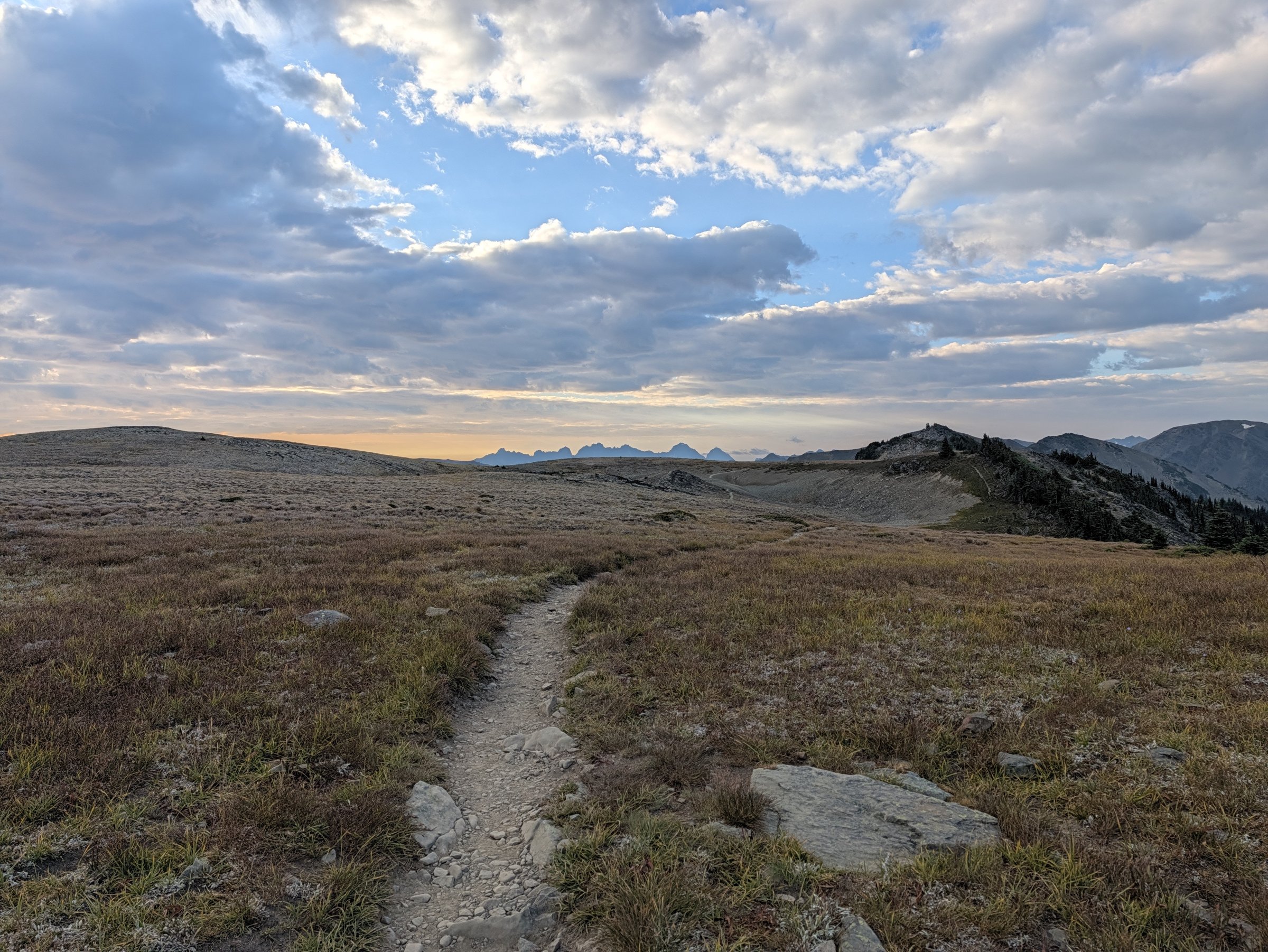
Open tundra about half a mile in.
From there the trail drops into Grand Valley, past a ranger station that turned out to be a canvas wall tent tucked into the trees.
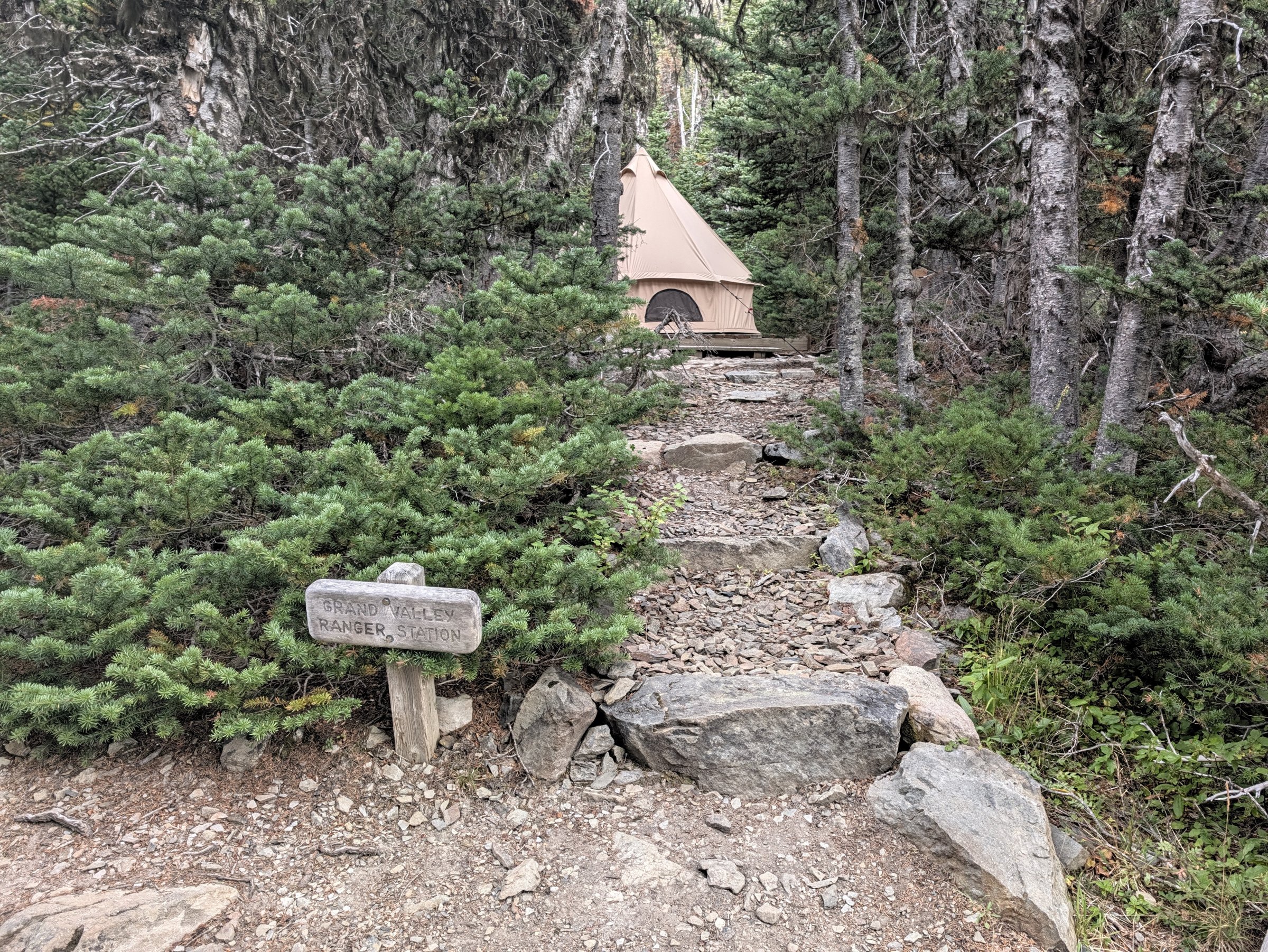
Grand Valley Ranger Station, mile 3.9.
Then it’s back up. Grand Pass was the first big climb of the day, about 1,400 feet up from the valley floor.
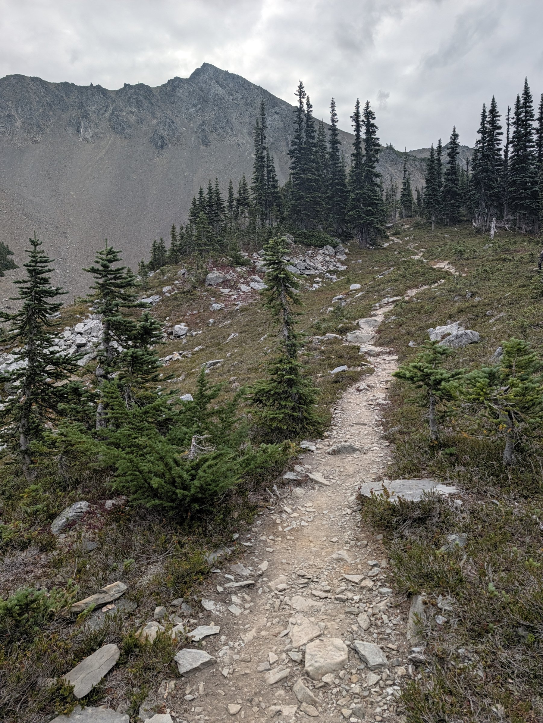
Climbing toward Grand Pass.
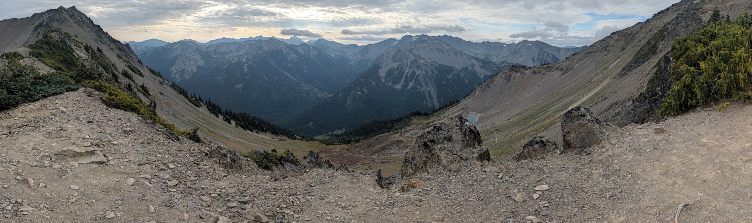
The view from Grand Pass, mile 6.1.
Down, Up, and a Sketchbook on Cameron Pass
From Grand Pass the trail drops more than 2,000 feet to the junction with the Cameron Creek trail, and then you get to climb all of it back up to Cameron Pass.
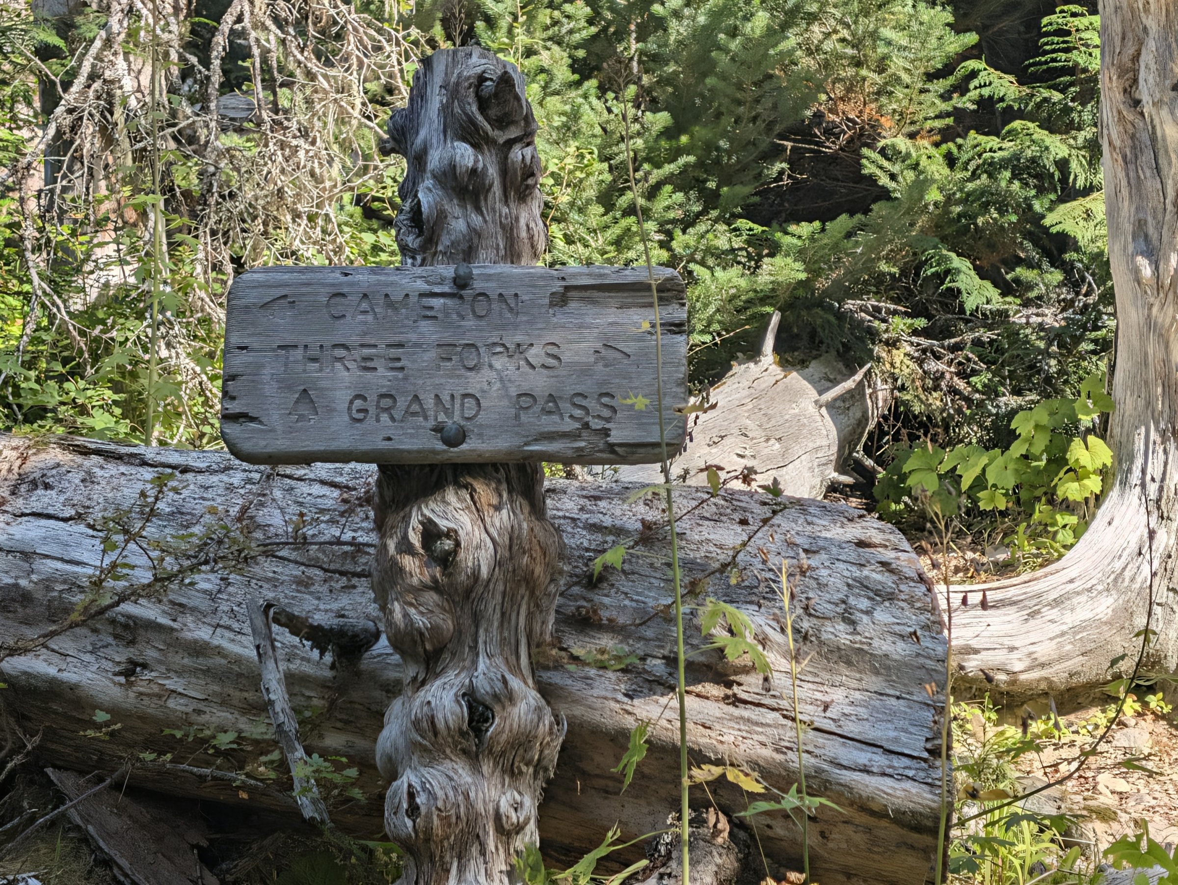
The Cameron junction, mile 7.8, at about 4,200 feet.
Cameron Basin is a wide, flat meadow with a creek winding through it and a ring of gray peaks around it. Then the trail turns to talus and gets steep.
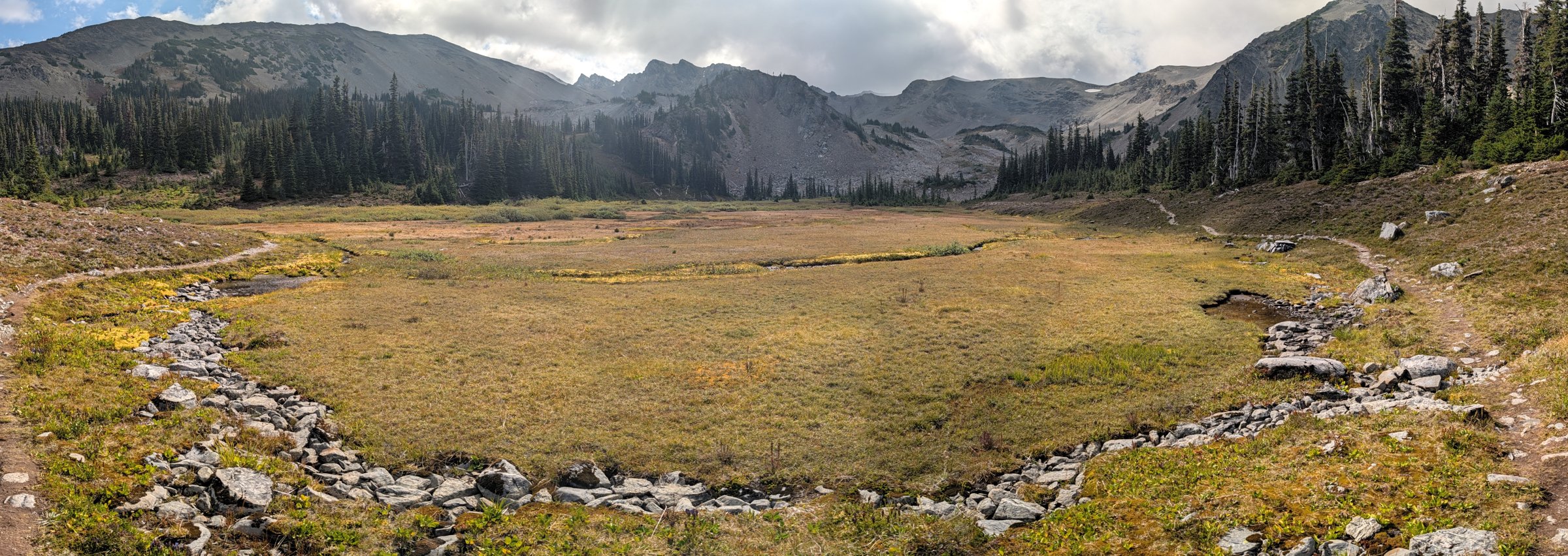
Cameron Basin, mile 10.3.
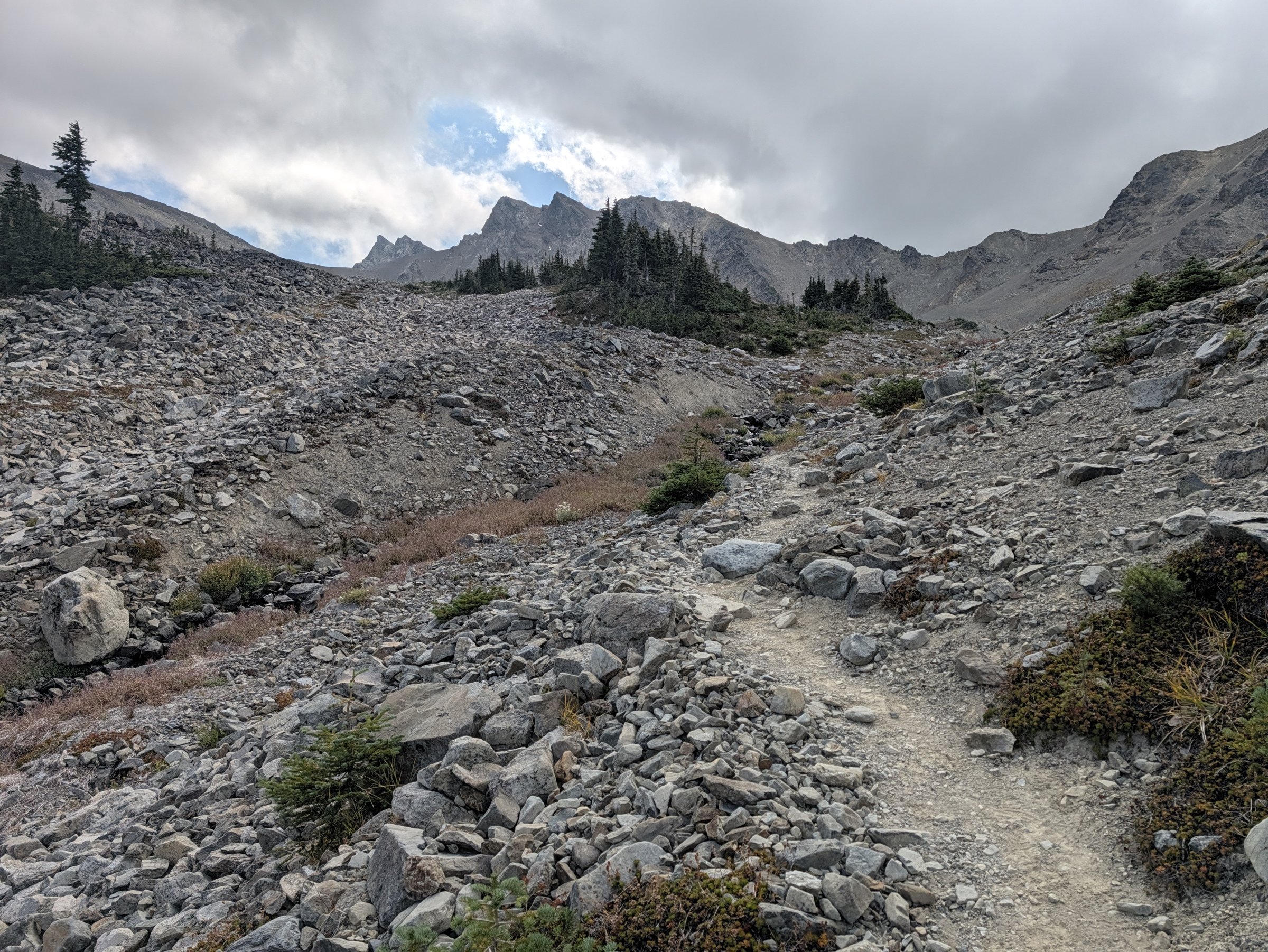
The talus climb toward Cameron Pass.
This year I brought a little sketchbook, a set of watercolors, and a pen. At Cameron Pass, the high point of the day at around 6,400 feet, I sat down, ate, and then did a few quick sketches. It gave the food a chance to settle and gave me a real breather, and it was a lot of fun.
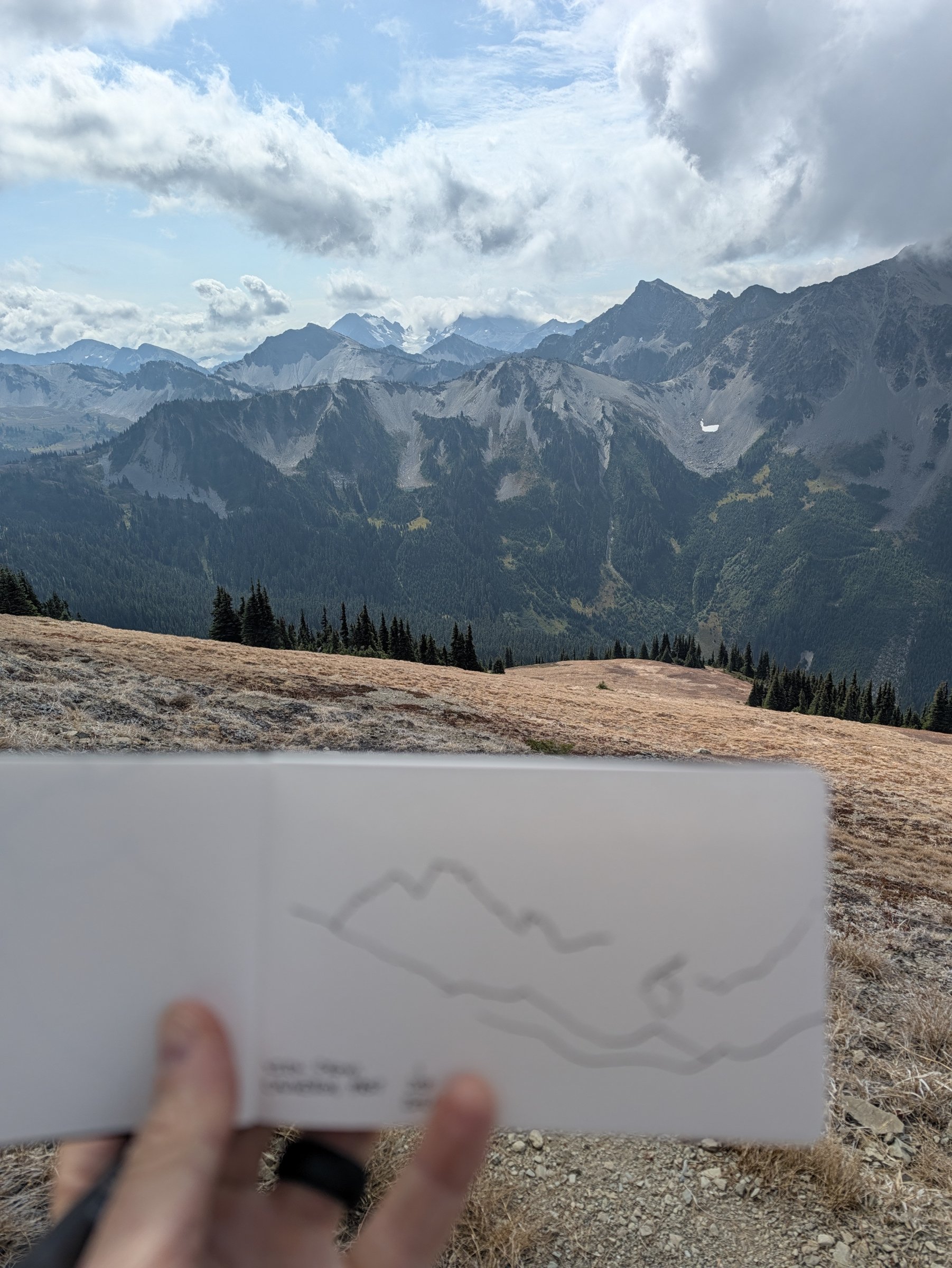
Sketch vs. the real thing, from Cameron Pass.
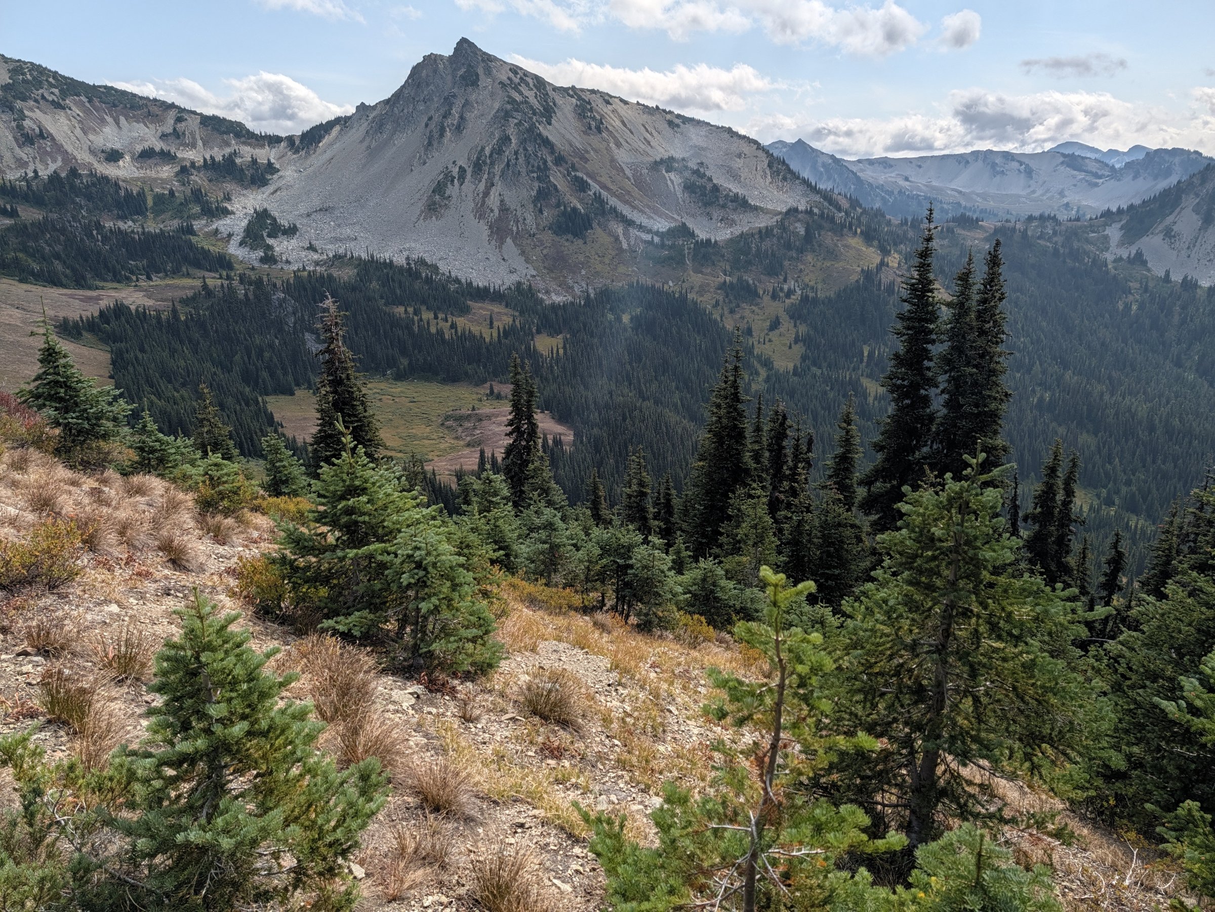
Heading down from Cameron Pass.
Lost Pass and the Long Way Out
Lost Pass is the lowest of the three, and the sign says 5,550 feet. Coming down off it, I started doing the math. The climbing was basically done, but I still had about 20 miles to go. It was going to be relatively peaceful in terms of elevation gain, but it was pretty interesting to be coming down and know I still had all of that ahead of me.
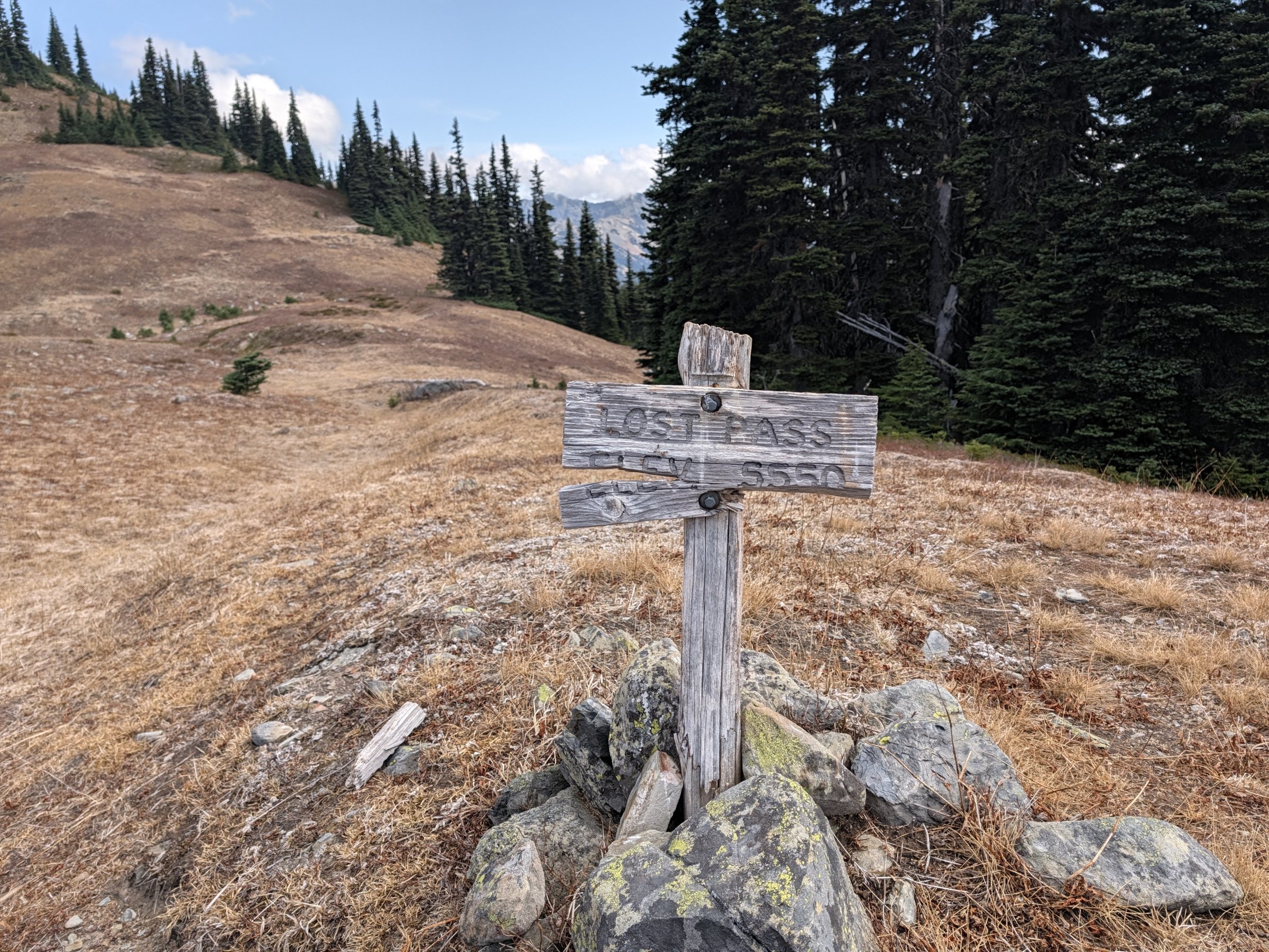
Lost Pass, mile 13.3.
I did one more painting at Lost Pass, looking back north.
The descent to Dose Meadows is steep, and this is where that 11,300 feet of downhill starts to add up. Strava doesn’t tell you the descent, and that’s the number that’s pretty tough on the legs. I stopped at Dose Meadows to check out the campsites along the river, since I’d never been, and then started east down the Dosewallips.
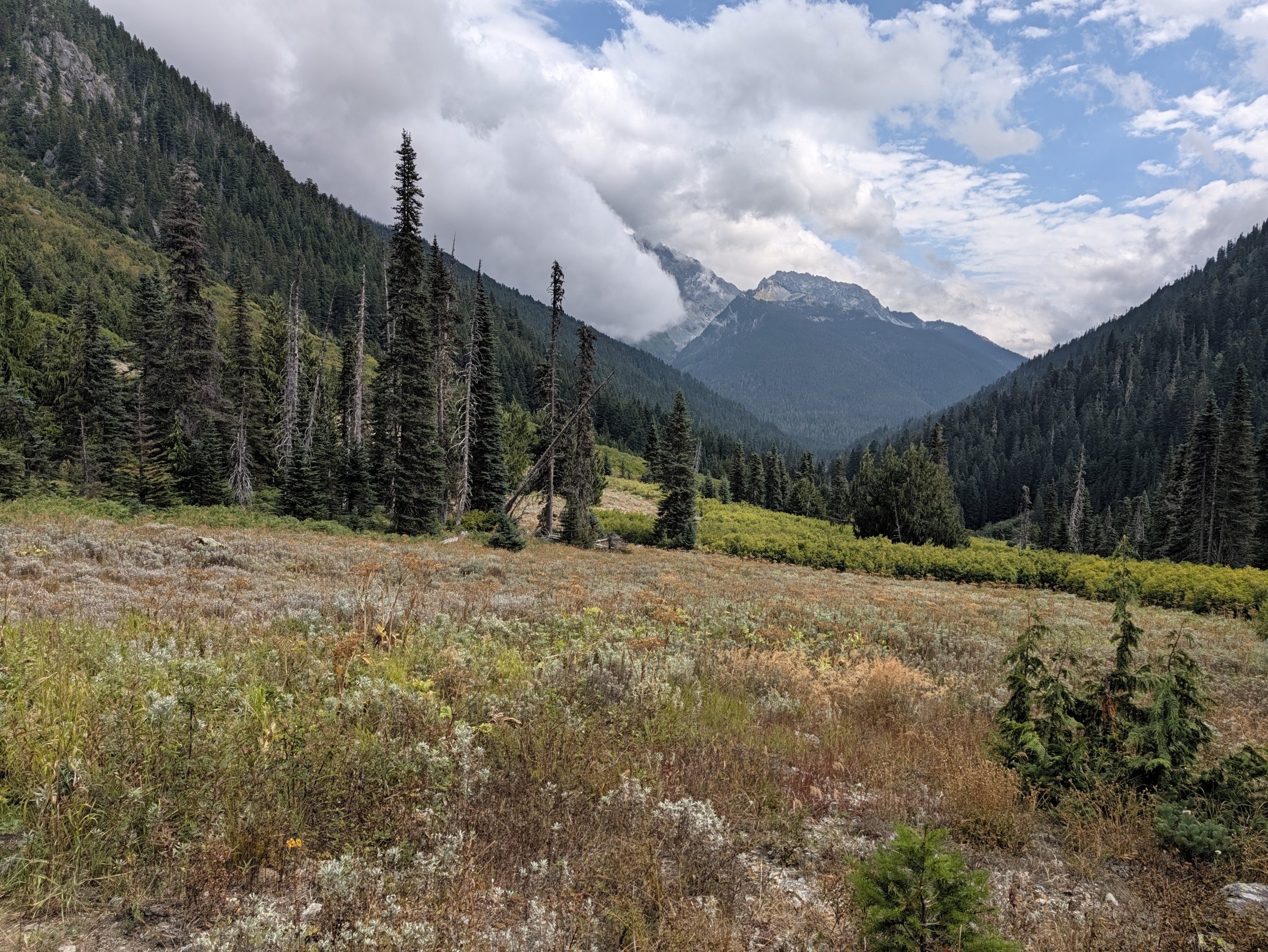
Dose Meadows, mile 16.9.
Hey Bear (and Hello, Bees)
A few miles past Dose Meadows, I came around a turn and a large black bear and I surprised each other.
I probably froze for a fraction of a second. I remember thinking something stupid, like maybe I should take out my phone, and then immediately: oh my God, make some noise. So I raised my arms and hollered, “Hey bear, hey bear!” The bear lifted its head, saw me, swung to the side, and took off into the underbrush.
Then I got my phone out and looked around. Cubs? Other bears? What’s going on here? Nothing, so I kept going down the trail.
A few steps later I thought I’d walked through a nettle bush or something. I was so focused on bear activity that I ignored it for maybe 5 or 10 seconds, but it kept getting worse. When I finally looked down, there were bees swarming my left ankle. I got stung several times. My best guess is the bear had been digging into a ground bee nest, which would explain why it was so surprised by me (it’s not like I was being especially quiet).
So last year the bees helped turn us around, and this year they got me again. They just waited until mile 19.
Old Growth and Sucking It Up
The rest of the way out follows the Dosewallips through some beautiful mossy old-growth forest and then the old road bed, and it’s mostly downhill.
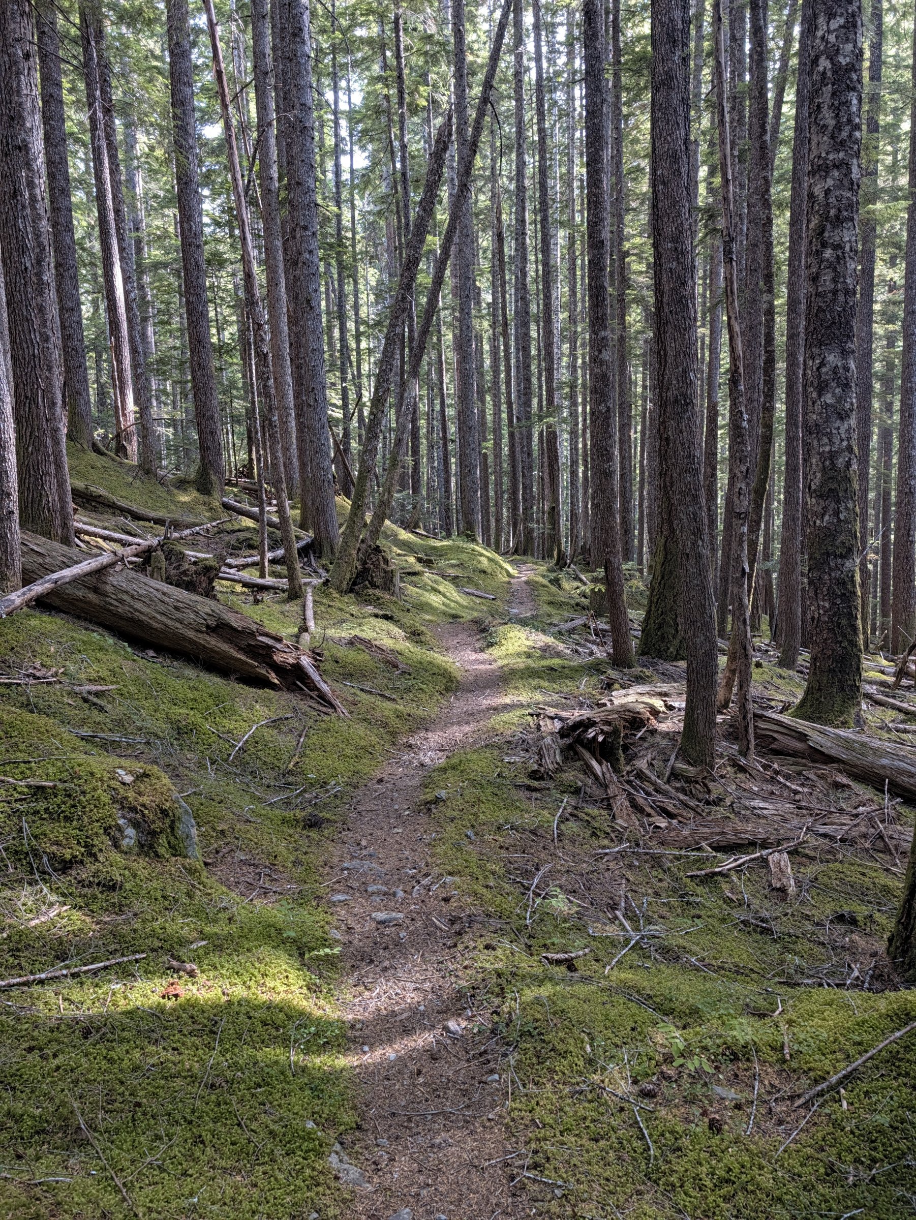
Old growth along the Dosewallips, mile 22.
The last 5 or 10 miles I definitely had to suck it up a little. I hadn’t done many 20-plus-mile runs this summer, so I knew I’d be tired, and I was. It was sore legs and sore feet all the way to the river.
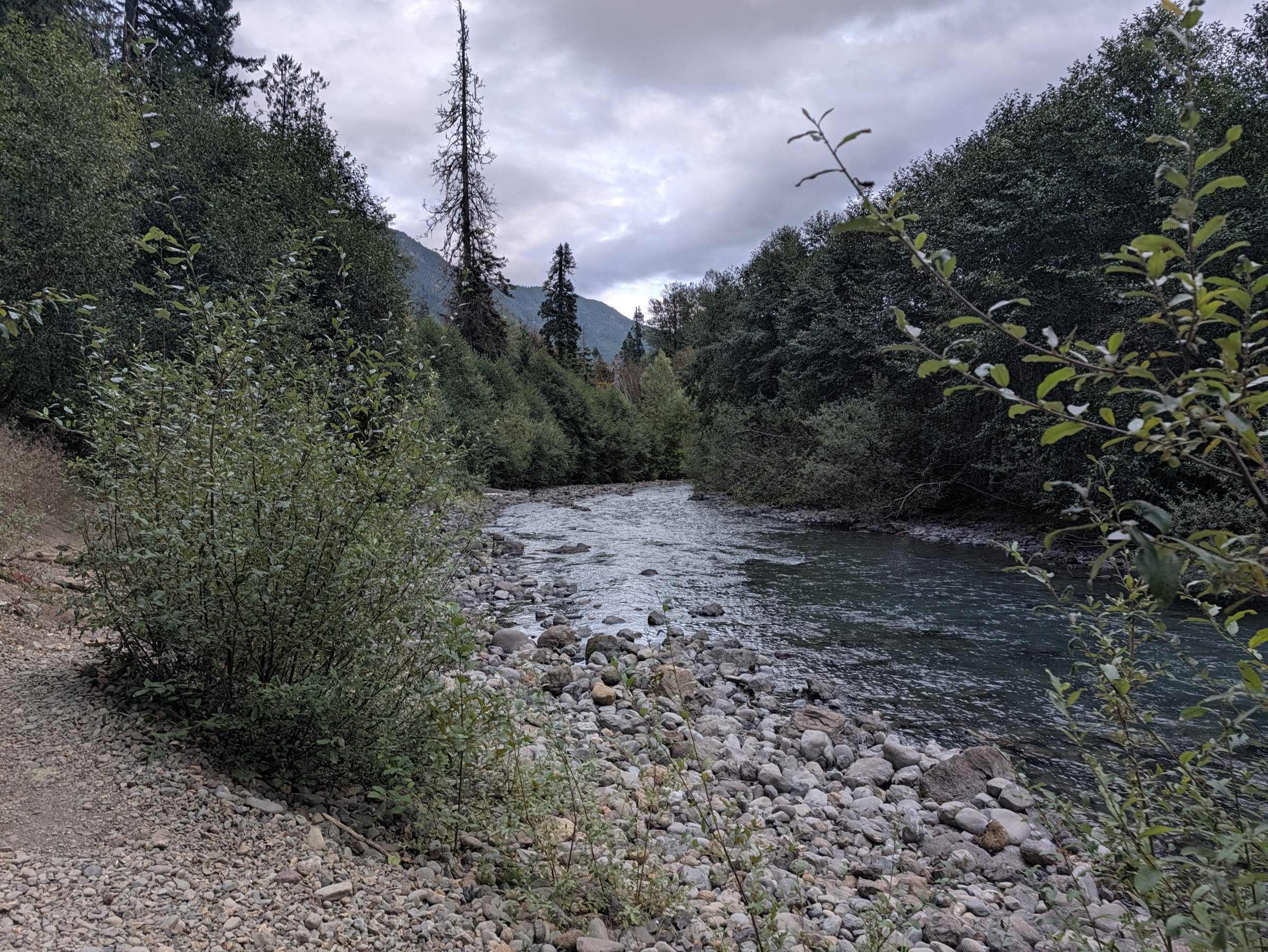
The Dosewallips, about a mile from the finish.
The Finish Line
I came out at the trailhead at 6:18 pm, 10 hours and 47 minutes after starting. That was a lot longer than I’d planned on, though still inside the limit I’d given Jeney. She’d been waiting for several hours, and I really appreciated it.
She’d also set up a full finish line with a ton of snacks and food, plus a finisher’s medal in the form of a really nice quarter-zip she’d picked up in Port Angeles while I was out running.
We drove back to our campsite at Dosewallips State Park, had a nice dinner of leftovers and camp meals, and I was out cold not long after.
What I’d Do Differently
Get more long runs in, not just climbing. All of the elevation gain is packed into the first half, over the passes, but the run is 33 miles, and the miles after the passes are where I paid for not having more long runs in my legs. It was definitely a little painful to walk down stairs for a few days afterward.
I don’t have plans to go back to this exact route. No particular reason. There are just a lot of other routes in the Olympics I’d really like to tackle.
Gear List
- Pack: INOXTO 30L fastpack. This was a real test of the pack I reviewed after a snowy 5-miler. In that review I said I wanted to see how the lower back area held up on longer runs. The answer: some chafing on my lower back over 33 miles, but otherwise I really like it. I also did not use the waist strap.
- Water: Water plus a filter for refills along the way (tons of water sources on this route).
- Food: Enough for the day, with a sit-down meal on Cameron Pass
- Art supplies: A small sketchbook, watercolors, and a pen
- Emergency kit (since I was solo): A Mylar emergency sleeping bag, a change of dry clothes, a rain jacket, and a puffy